
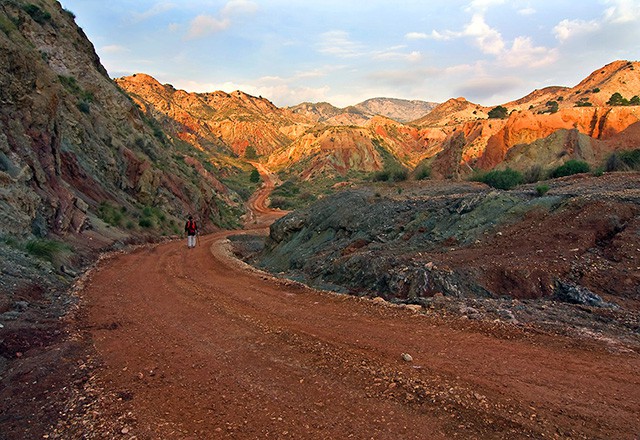
Jijona is the perfect setting for active tourists to enjoy nature. For those who love trekking there are four marked routes with spots of great beauty along the routes which include a network of parks which have water as the unifying theme.
PR-CV 112: JIJONA – VIVENS – JIJONA
Difficulty: medium, 16.5km
The walk starts in the Barranc de la Font park and continues towards the Alécua district. It goes on upwards towards the “Library” rock formation and the Moor’s Waterfall (El Salt del Moro), then continues along a hill known as Costera D’Ibi to the recreaction area at the Vivens Spring. From here it goes up to the Martina Heights then descends into the Castalla Ravine, to meet up again with the road that leads back to Jijona.
PR-CV 212: JIJONA – PENYA MIGJORN – JIJONA
Difficulty: high, 15km
From the Barranc de la Font park the walk goes round the western side of the castle towards the Gacimal farm and the Pineta house. It follows a path up to the first hillock on the way up the Penya Migjorn; it continues westwards passing through the Cova dels Corrals Ravine. It descends the Segona Carena hill to return to the starting point.
PR-CV 270: JIJONA – POU DEL SURDO – JIJONA
Difficulty: high, 11km
The walk starts in the same place as the others; it crosses the town in the direction of St Anthony’s Hermitage along the old Jijona – Alcoy road. It continues through the Bugaia valley and rises up to the Pou del Surdo snow well and the Pou de la Neu Hotel. Once past the TV mast, it reaches the PR – CV 232 walk and returns by the same route.
SL-V 151: JIJONA – MONTNEGRE DE DALT – JIJONA
Difficulty: medium, 8km.
This route starts in the park Barranc de la Font and continues from there down to the municipal sports’ centre and from there along Font de Moratell (Moratell Spring) Road. The road continues between houses in the country, leaving the town behind. When the road becomes a dirt track, you have reached La Font de Bernat (Bernat’s Spring). Here you bear right, and come to a hillock from which you can see the Barranc de les Salines (the Salt Ravine), which you cross to get to the slopes of Sílm, until you reach a height from which you can see the Montnegre River. From here the route descends to the Montnegre Hermitage.